Kategorie:Maps of German colonies
Zur Navigation springen
Zur Suche springen
Medien in der Kategorie „Maps of German colonies“
Folgende 6 Dateien sind in dieser Kategorie, von 6 insgesamt.
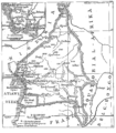
- Karte kamerun 1914.png 1.293 × 1.476; 61 KB
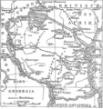
- Karte ostafrika 1914.png 1.188 × 1.262; 58 KB
- Karte südsee 1914.png 2.473 × 1.805; 87 KB
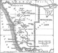
- Karte südwestafrika 1914.png 1.246 × 1.150; 41 KB
- Karte togo 1914.png 663 × 1.173; 23 KB
- Togo 1914.svg 459 × 810; 116 KB


